Greening Romford Ring Roadstart date: 2008 completition of phase 1-3: 2012 commissioned by: London Borough of Havering project team: Flora Gathorne-Hardy (landscape architects), Landlife (wildflowers), Jacobs (Engineers), A&E (art strategy), Inge Clemente (photography) pilot projects (phase II): Walk the Ring Road, Havering Green Map, North Street Roundabout, Battis Railway Viaduct, St. Edwards award: Zumtobel Group Award 2009 other projects delivered for LB Havering: Rainham Station Forecourt, Viking Way Passage Rom Valley Roundabout
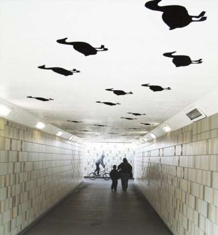
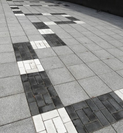
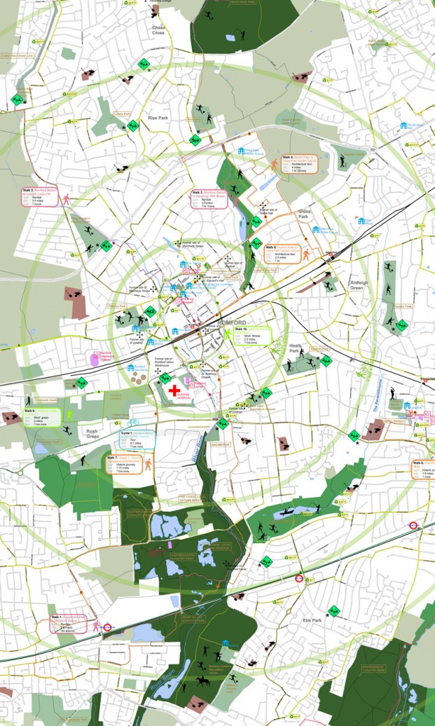
what if: projects developed a strategy to transform the Ring Road through simple and practical interventions into a greener environment that supports walking and cycling, and provides connections to the diverse landscapes surrounding Romford’s town centre. 70 unused pockets of land were identified along the road accounting for 2.8 hectares of land. These spaces are considered as a whole offering Romford a park-like environment that encircles the town centre. Proposals at different scales and levels of complexity were outlined as part of a project list, of which 6 were prioritised as pilot projects. Outcomes include improvement works to the network of town-centre underpasses, 150 new Ring Road trees, TFL (LIP) funding for Battis pilot project , St. Edwards Churchyard enhancement works. what if: projects also developed a walking and cycle guide to highlight connections between the town centre and the diverse landscapes and historic places in close proximity.
–
|